
Location
analysis & intelligence


Make smarter location decisions
TravelTime powers high-performance analysis across millions of locations.
Tap into TravelTime’s global data sources—public transport networks, proprietary driving, cycling, and walking models, urban infrastructure data, historical movement patterns. Give GIS and analytics teams a real view of accessibility, demand, and opportunity.
Calculate multi-modal routes, catchments areas, and more
Plan and optimise with multi-modal calculations across the globe with TravelTime’s driving, public transit, walking, and cycling models.
Multi-modal time matrices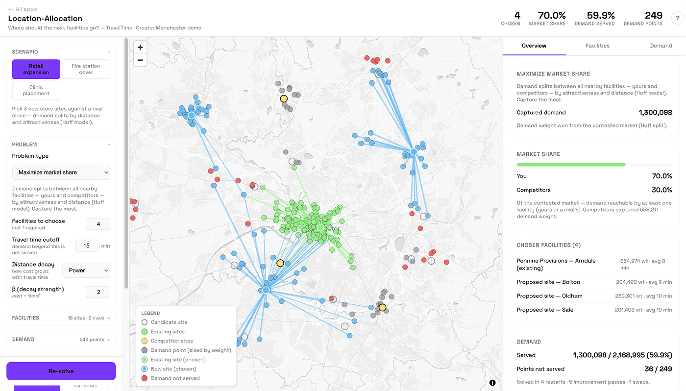
Analyse with confidence using real-world insights
Whether analysing a one-off location change or the long-term impact of a global development strategy, we’ve got the data to deliver the best results.
Drive time accuracy benchmark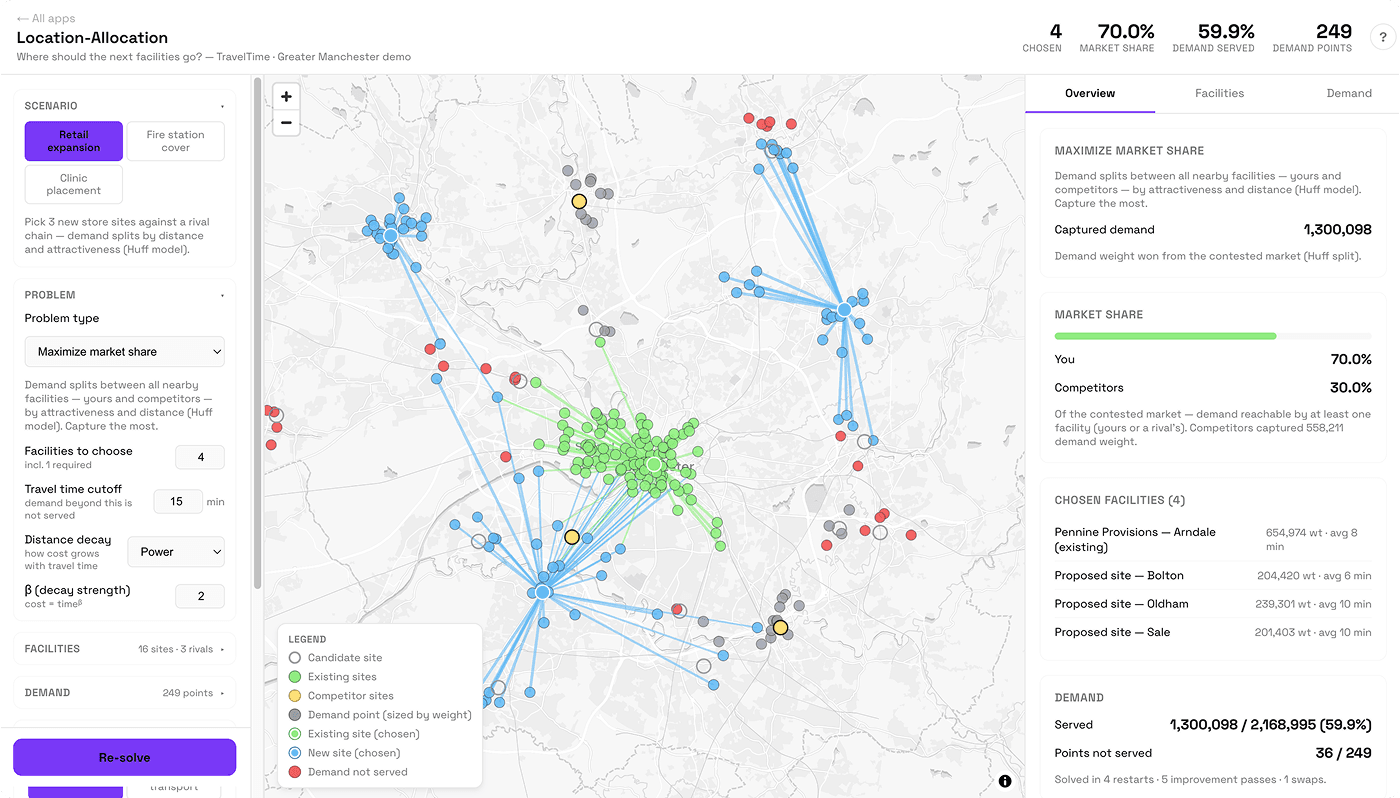
Run more ambitious location analysis
Return millions of accurate travel times with TravelTime APIs, built for high-performance large-scale analyses and AI workloads.
Discover TravelTime H3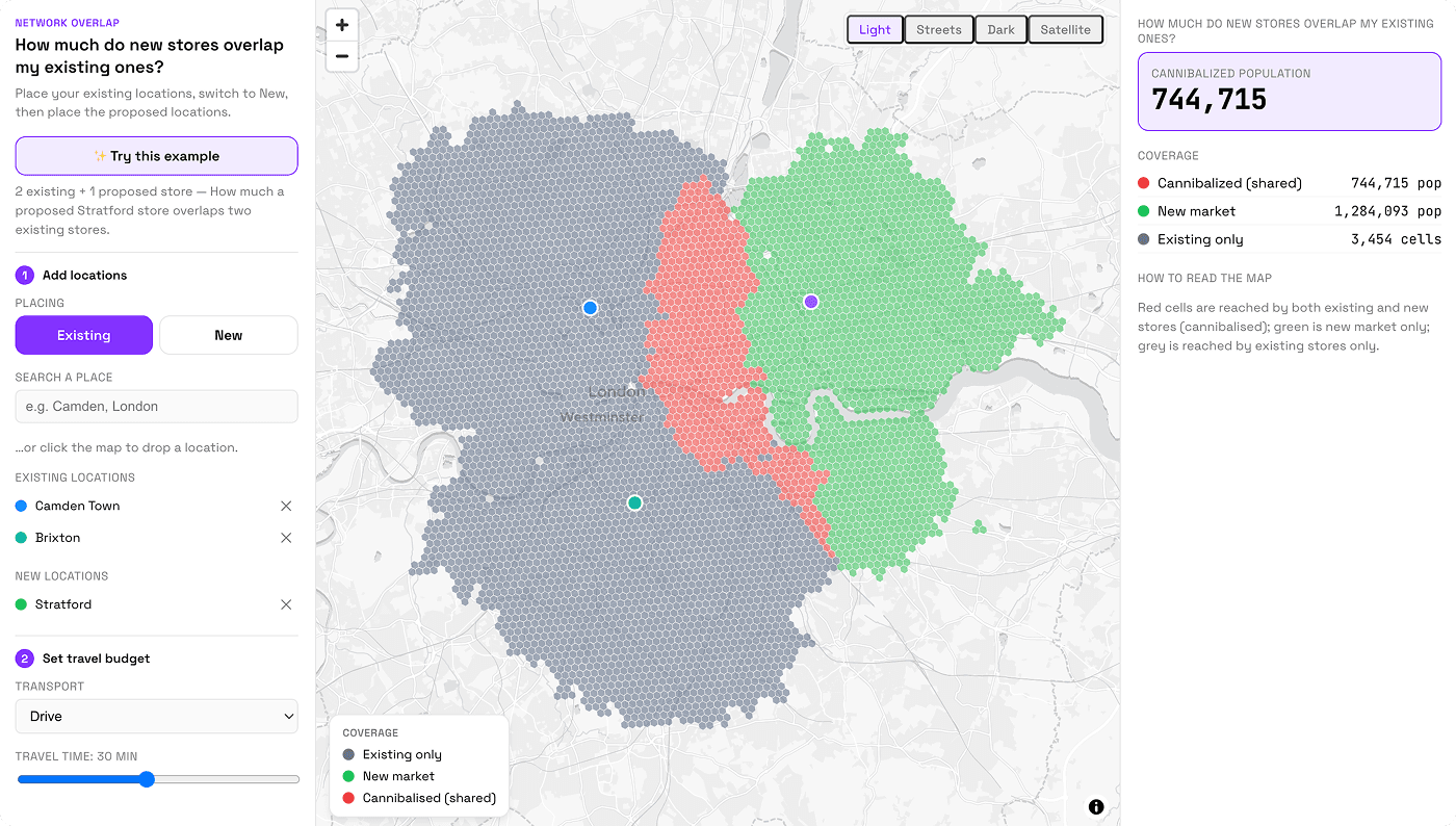
Measure coverage, gaps and optimise network operations
Visualise existing coverage, overlaps, and network gaps - from city-based analysis to millions of calculations across the globe.
Network coverage demo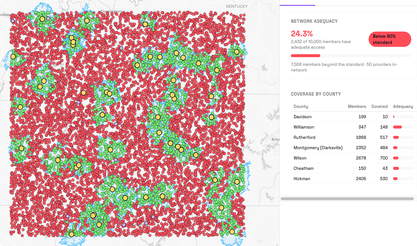
Integrate location scoring & POIs
Enable more informed decisions with rich location context. Discover what’s nearby - and how users can get there with TravelTime POI, routing, and journey time calculation APIs.
Discover POI Server (Beta)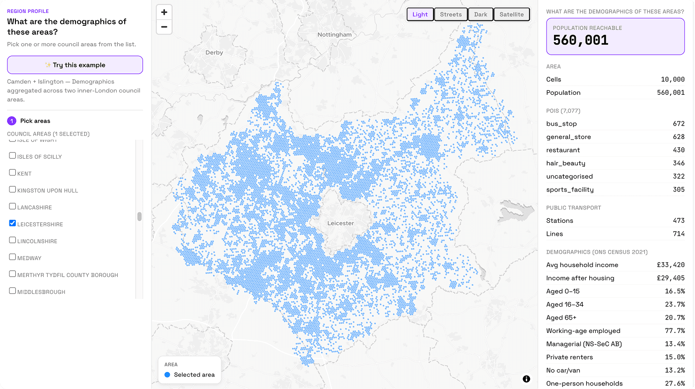
Use TravelTime with your existing data & analysis tools
Fine-tune your analysis using our APIs and plug into your existing tools, including ArcGIS Pro, Snowflake, Carto, and Alteryx.
Discover integrations
Layer your own custom data
Use TravelTime API to better understand your other data. Integrate proprietary data, demographic data, store locations, environmental data, and much more - and contextualise with travel time calculations.
Why choose TravelTime
Large-scale analysis
Millions of travel times returned in milliseconds, with caching rights included. Build without slowing your product down.
Fixed price, unlimited API calls
PAYG punishes growth — every API call costs you more. TravelTime API is a flat annual price, so your bill stays predictable as you scale.
Global multi-modal coverage
Driving, public transport, cycling and walking across every market you operate in. Built on real road networks and transit timetables.
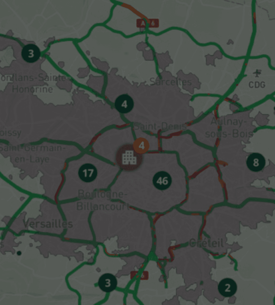

Powering commute analysis for smarter location decisions
CBRE uses TravelTime to perform large scale commute analysis for office relocation and site selection, mapping travel time catchments for multiple transport modes.
View case study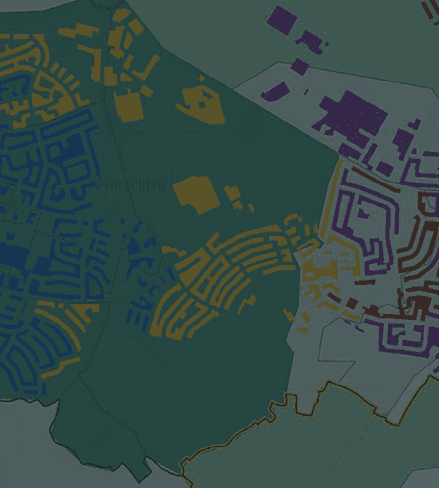

NHS SCW uses TravelTime to make strategic decisions in healthcare
NHS South, Central and West uses TravelTime to map healthcare accessibility across the UK — plan workforce allocation, measure the impact of change, and find the best sites for new facilities.
View case study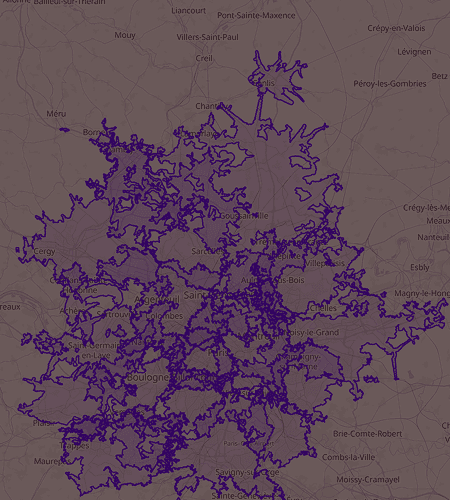

Knight Frank uses TravelTime API for geospatial analysis
“Being able to map travel time as opposed to straight-line distances offers a real-world angle to our outputs... The ability to generate tens of thousands of isochrones in a short period of time really makes our life easier.”
View case study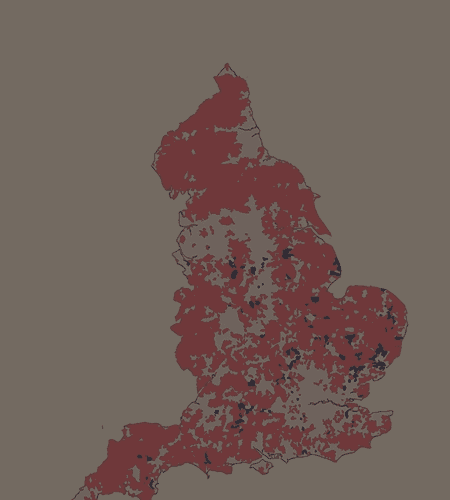

Time catchments for Financial Times data journalism
“Most analyses of geographical service coverage focus only on the distance from point A to point B, but in reality, travel time is a much better metric.”
View case studyAPI products for location analysis& intelligence

H3 API
Calculate the travel times to all H3 cells within a travel time catchment area. Return the maximum, minimum, and mean travel time for each cell.

Isochrones API
Create reachable areas based on a maximum travel time. Built for online map views, site selection, spatial analysis, and more.

Travel Time Matrix API
Calculate accurate multi-modal travel times between multiple locations. Designed for location matching, large-scale route optimisation, and more.

Routes API
Generate A to B routes with turn-by-turn directions. Designed for scale, the API supports large applications that require flexibility and customisation.